Sleeping Giant State Park
Hamden, CT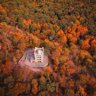



Main (203) 287-5658
Overview
KNOW BEFORE YOU GO
- Bus Permits are required for mid-size and full-size buses seating 30 or more passengers
- Trail Map
Camping
Youth Group Camping
- One site available, accommodates up to 40 campers
- Open to qualified youth groups only
- Advance reservations are required
- Youth Group Camping
Fishing
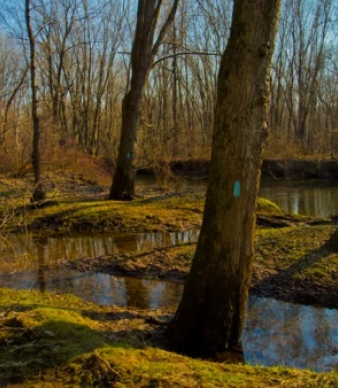
The cool waters found within the park provide a safe, comfortable haven for a variety of different fish species — their bounty enriched by DEEP’s regular stockings. Choose whether to wade into the rushing waters of the Mill River or find a spot on the banks of tranquil Axel Shop Pond. Or split your time between both.
Types of fish: Striped bass, rainbow trout, brook trout, brown trout, tiger trout
KNOW BEFORE YOU GO
Before heading out, be sure to check the latest conditions and fishing regulations.
Hiking
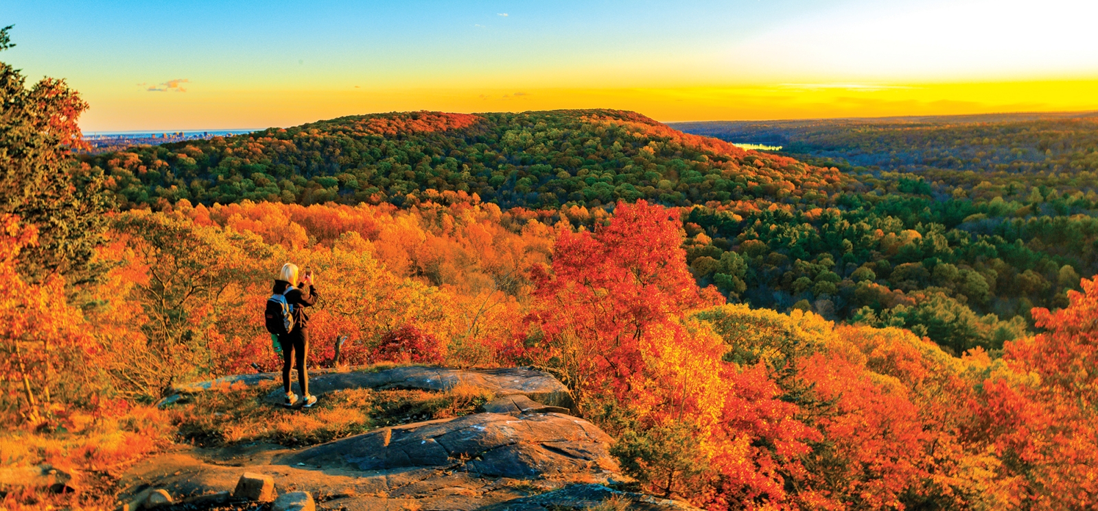
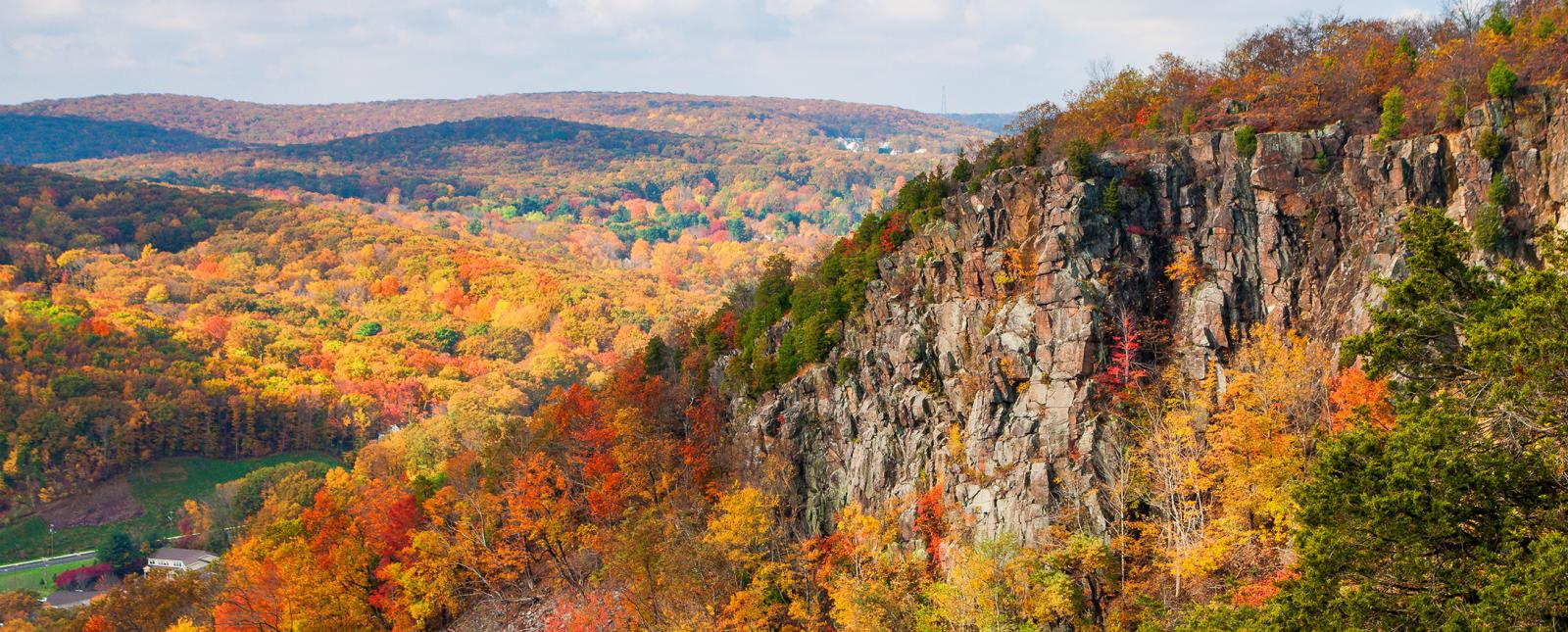
The Giant’s 40 miles of trails take you on a journey up majestic basalt cliffs, past caves and rivers, through dense, deciduous forest, with jaw-dropping natural vistas at every turn. The modern-day trail system is one of the crown jewels of the state’s hiking network and the first National Recreation Trail in Connecticut.
Tower Trail (Gray Blaze)
- Three-mile gravel out-and-back to tower
- Level of difficulty: Easy
- A popular trail, especially with first-time visitors to the park’s signature destination, this wide, gravel path is the easiest route up the Giant. The trail climbs up gently graded switchbacks to the Giant ‘s “hip” on the peak of Mount Carmel, the tallest of the seven ridge crests. The stone observation tower at the top offers 360-degree views of Long Island Sound and the Greater New Haven area.
Borne from magma. Learn more about the geology of Sleeping Giant.
Quinnipiac Trail to Tower (Blue Blaze)
- 2.9-mile climb
- Level of difficulty: Strenuous
- Starting at the Mill River, this trail – the most difficult in the park and top rated in Connecticut – wastes no time before starting its grueling climb. Head up a series of steep switchbacks through remnants of a former quarry before emerging from the canopy of hickory, beech, and oak trees. After a short, yet rewarding scramble over the rock face, the summit levels out on the 400-foot cliffs of the “chin.” Head down “the neck” and up and down a few hills before reaching the left “hip.” Head up the tower and take in the sweeping views that surround you.
- Head back the way you came or take the more leisurely route down the purple trail or gray-blazed Tower Trail. For more adventure, tack on more miles. The 23-mile-long Quinnipiac Trail traverses the length of the Giant from the Quinnipiac River along the Giant’s peaks to the Mill River and continues over West Rock Ridge and Mount Sanford.
BECOME A GIANT MASTER
Ready for a challenge? Take things up a level and work to become a Giant Master by hiking all 32 miles of blazed trails in the park. Learn how to get started at Sleeping Giant Park Association.
KNOW BEFORE YOU GO
Historic
Nature
Sleeping Giant’s combination of microclimates, particularly unusual in New England, come together in a singular ecosystem unlike any other. A 1,500-acre wonderland of pristine woodlands, wetlands, cliffs, and talus, the park’s varied terrain is a welcoming habitat for a menagerie of animals, birds, and plant life — many globally rare, many rare in Connecticut.
Deer, bear, bobcat, foxes, and other wildlife roam the park’s varied terrain along with the scores of human visitors. For decades, experts have cataloged the park’s flora and fauna into a species inventory of which Sleeping Giant Park Association maintains by taxonomic groups.
The park is a critical stopover on the raptor migration path and birdwatchers have observed over 125 species of birds at the park, including many threatened and endangered species. A collection so striking, the park is a designated “Hotspot” on the Cornell Lab of Ornithology’s eBird app.
Nature Trail (Pine Tree Blazed)
- 1.5-mile loop
- Degree of difficulty: Moderate
- A hidden gem, this roughly one-hour walk introduces visitors to the natural history of the park’s flora and fauna. As you reach the forty numbered trees and rocks you pass, read the corresponding section in the “Trail Guide” to learn about specific geologic features, trees, and more along the trail. Though the guide is limited to natural features occurring in all seasons, look for the many flowers, birds, insects, and other wildlife which make their home on the Sleeping Giant. The first part of the trail is relatively level, shifting to a rougher, steeper, and in some places, rocky trail around the station #13.
KNOW BEFORE YOU GO
Picnicking
Rebuilt after a tornado tore through in 2018, the park’s new picnic area is a perfect spot to relax or refuel after a hike to the tower. You’ll find picnic tables, fireplaces, water, restrooms, and a covered pavilion available for rent.
Open-air picnic shelter rentals
- 22 x 60-foot picnic shelter: Partially enclosed space for 50 people, 10 picnic tables, two grills, two working fireplaces, and access to nearby restrooms and parking. No electricity or running water inside pavilion.
- Available: Memorial Day through Columbus Day
- Rental Fee: $220 (plus $9 processing fee). Does not include parking.
Reserve an open-air picnic shelter
- Online: Visit Reserve America
- By phone: 1-877-668-CAMP (2267)
- Learn more about our picnic shelter rental polices and reservation details
Winter
In addition to the interconnecting web of hiking trails that climb the highest reaches of the park, you’ll find designated trails for cross-country skiers and equestrians in the lower elevations of the park. Though we haven’t seen as much snow in recent years, after a good winter storm there is no better place to be.
The trail, marked with crossed white skis and poles on a black blaze, is accessible from: the Red Circle trailhead on Tuttle Avenue; the Red Square trailhead on Mansion Road; or the multiple trailheads on Chestnut Lane. The Sleeping Giant Park Association trails crew maintains a cross-country ski trail on the north side of the park. The trail is accessible from the north end of the Red Circle Trail on Tuttle Avenue, the north end of the Red Square Trail on Mansion Road, or the east end of the Violet, Green, White, Orange and Yellow trails on Chestnut Lane.
KNOW BEFORE YOU GO
Additional Park Info
FREE – In-State Registered Vehicles
$15 – Out-of-State Vehicles (Weekends/Holidays)
$6 – Out-of-State Vehicles (Weekends, after 4pm)
$10 – Out-of-State Vehicles (Weekdays)
$112 – Out-of-State Vehicles (Season Pass)
Parking
Picnic Tables
Restrooms
Picnic Areas & Hiking Trails
Yes, on leash
