Kent Falls State Park
Kent, CT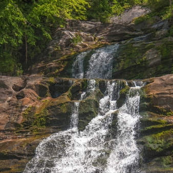

Main (860) 927-3238
Overview
Know Before You Go
- Visitors should stay on the hiking trails
- An alcohol ban is in place at Kent Falls State Park - alcohol is prohibited
- Bus Permits are required for mid-size and full-size busses seating 30 or more passengers
- No entry into water or swimming is allowed
- Drones are prohibited at all Connecticut State Parks and Forests
Fishing
Anglers and ice fishers
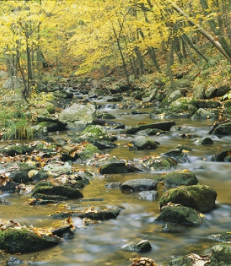
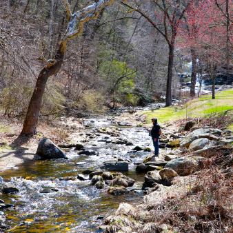
As one of Connecticut’s thirteen state trout parks, visit Kent Falls to take in the views, while casting a line. The best spots are found below the base of the falls.
Types of fish: Brook trout, brown trout, rainbow trout
Before heading out, be sure to check the latest river conditions and fishing regulations.
- Licenses and permits, current regulations, and more
- Connecticut is Fishy Interactive fishing application
- Connecticut Trout Parks
- Freshwater Fishing in Connecticut’s State Parks
Hiking
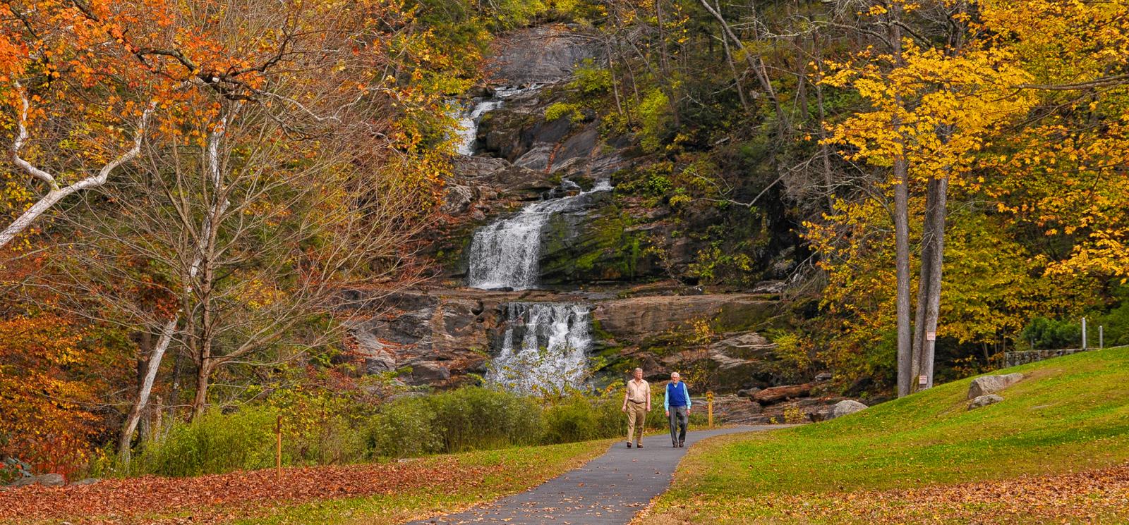
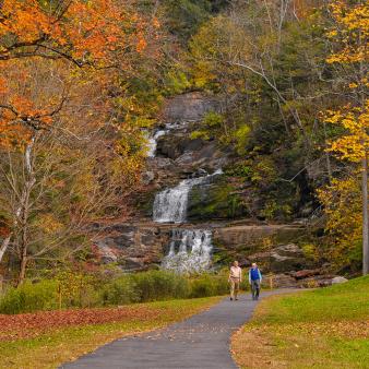
Kent Falls State Park has only a few trails, but they offer up views of its namesake views from every direction. There's an ADA-accessible path at the base of the falls and a full workout of a climb up the cascade. You won't wan to forget your camera!
Kent Falls Steps Trail
- 0.84-mile out and back
- Level of difficulty: Moderate
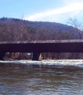
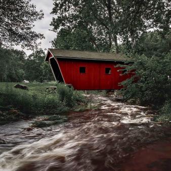
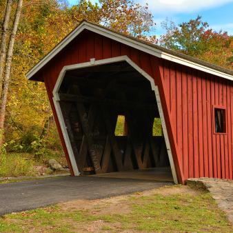
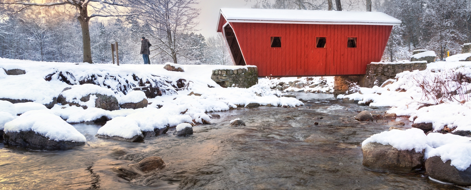
- From the parking lot, use the paved path to pass through the covered bridge and picnic area before descending the set of stone stairs that wind 0.25 miles up along the falls. Take in the many scenic vantage points as you climb or catch your breath at one of the viewing platforms along the trail — the trail is short, but steep! Head back down the way you came or cross the brook to connect to the red-blazed trail. You’ll avoid the stairs, but miss out on the views.
Historic
ART TRAIL
Ever wonder what the Connecticut landscape looked like a century ago? Check out “Viewpoints”, a joint project of the Connecticut Commission on the Arts, the Connecticut Art Trail, and DEEP. Outdoor exhibits reproduce works of art painted in the 19th Century, with information about the artist and the location.
Visit the Connecticut Art Trail website for a preview, and look for the Viewpoints exhibits when you visit Kent Falls and other host sites.
Nature
Picnicking
Geology
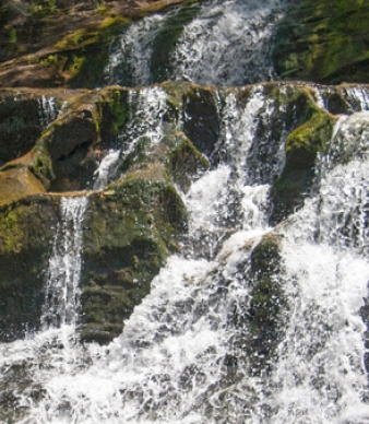
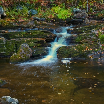
The most obvious geological feature at Kent Falls is, of course, the falls. Actually, they are a series of falls and cascades. Multiple falls and cascades, such as these, generally form where the bedrock contains alternating hard and soft layers. This part of Connecticut was once made of coral reefs, offshore from the northwestern part of the state.
As the Iapetos Ocean closed when Europe and Africa moved our way, these reefs were squeezed and buried under other rock. With increasing heat and pressure, the minerals in these rocks recrystallized, and the former coral reefs turned to marble. Sand and mud around the reefs formed the impurities in the marble that cause some layers to be more resistant to the effects of the flowing water.
Rock Types Found on Main Trail:
Metamorphic (Dolomitic Marble, Schistose Marble, Gneiss)
Rock Units:
Stockbridge Marble, Basal Marble Member of Wallomsac Schist
Minerals of Interest:
Garnets
Interesting Geologic Features:
Waterfall, Potholes
Additional Park Info
FREE – In-State Registered Vehicles
$15 – Out-of-State Vehicles (Weekends/Holidays)
$10 – Out-of-State Vehicles (Weekdays)
$112 – Out-of-State Vehicles (Season Pass)
Parking
Picnic Tables
Restrooms
Trail to the base of the falls
Picnic Areas & Hiking Trails
Yes, on leash
