Mount Tom State Park
Litchfield, CT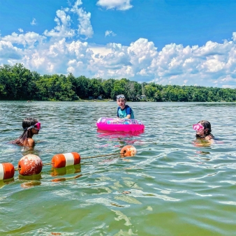


Memorial Day – Labor Day (860) 567-8870
Sept. – May (860) 868-2592
Overview
KNOW BEFORE YOU GO
Mount Tom has limited parking and may fill up quickly. When the parking area is full, or the park has reached capacity, the park will be closed to additional visitors.
- Bus Permits are required for mid-size and full-size buses seating 30 or more passengers
- Trail Map
- Trail Map - Mobile
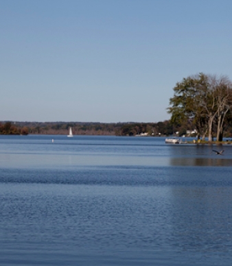
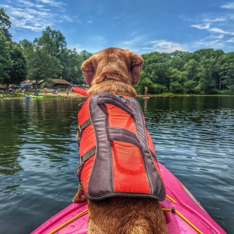
Boating
KNOW BEFORE YOU GO
CANOE AND KAYAK RENTALS
Kayak, canoe and paddleboard rentals are now available for the 2026 Season. Rental services are provided on site by Litchfield Paddle (contact info below). Please be aware that rentals are available on a first-come, first-served basis, and that rental operations close for inclement weather.
RENTAL AVAILBILITY
- Prior to June 19: Weekends, 10am-6pm; Weekdays by appointment, availability varies: check Litchfield Paddle website for availability
- June 19-August 30: Daily, 10am -6pm (weather permitting)
- After August 31st: Weekends, 10am-6pm; Weekdays by appointment, availability varies: check Litchfield Paddle website for availability
RENTAL RATES
- Singe seat kayak or paddleboard: $35 per hour
- Tandem kayak: $50 per hour
- Canoe: $75 per hour
A 25% discount is available on weekdays before 12pm. Accepted forms of payment: major credit cards, ApplePay, GooglePay and cash.
RENTAL QUESTIONS?
Paddlecraft rental services are provided by Litchfield Paddle
95 Old South Road, Litchfield, CT 06759
Phone: 860-567-8820
Website: Litchfield County Paddleboard and Kayak Rentals
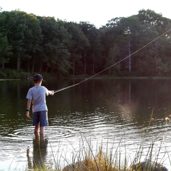
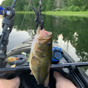
Fishing
KNOW BEFORE YOU GO
Before heading out, be sure to check the latest water conditions and fishing regulations.
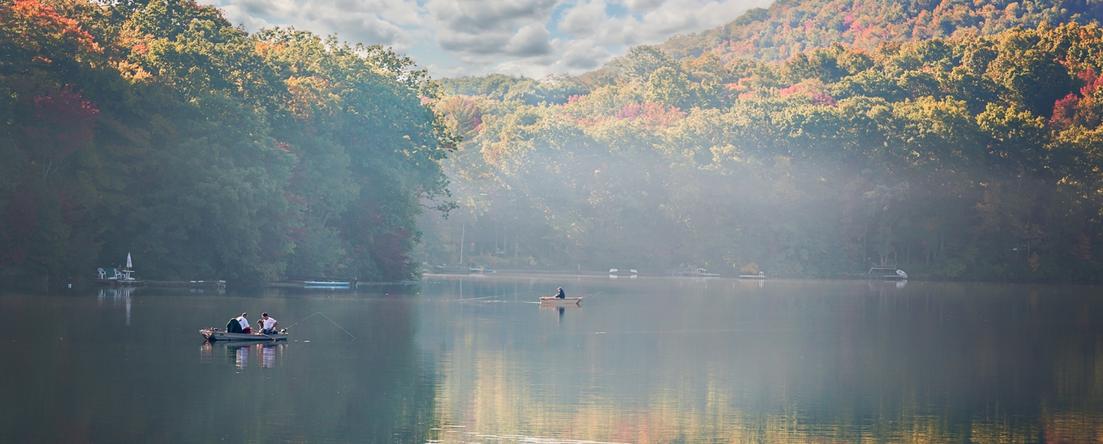
Geology
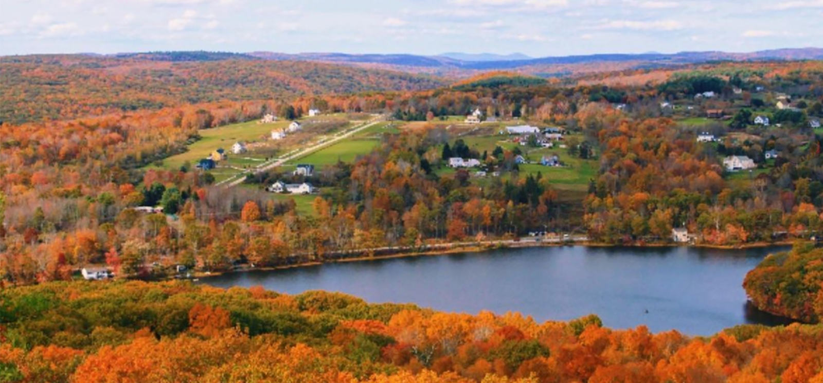
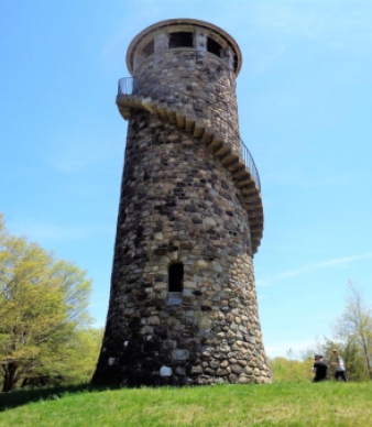
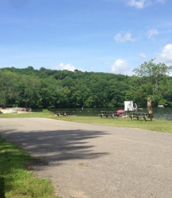
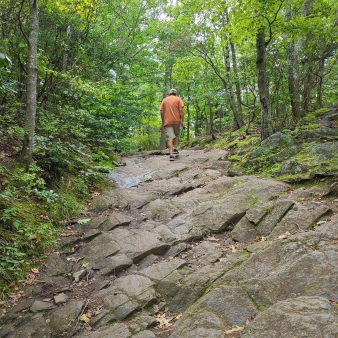
Mount Tom has a nice swimming beach and picnic areas. It is also a good hiking area with great views from the top, and interesting geology. This description follows the yellow trail beginning in the picnic area south of the entrance road, goes to the tower on the top, then returns down the other side of the yellow trail loop, ending near the beginning site. The trail is uphill all the way but is not usually very steep. Just take your time, stop to look at the rocks, and you will be rewarded with spectacular views from the top.
When you leave the small picnic area at the beginning of the yellow trail, go straight ahead. Follow the yellow trail markers at the branch in the trail. Shortly after that, there is a curved area that appears to be dug out.
Beyond that area, in the woods, there is an outcrop of dark-gray gneiss. This is a rock with bandings of light and dark minerals, although here the rock is mostly dark hornblende, with lesser amounts of lighter plagioclase and quartz.
Rock Types Found on Main Trail:
Metamorphic (Gneiss, Schist)
Rock Units:
Amphibolite member in Ratlum Mountain Schist, Ratlum Mountain Schist
Minerals of Interest:
Quartz, Garnet, Hornblende
Interesting Geologic Features:
Quartz vein
Hiking
Historic
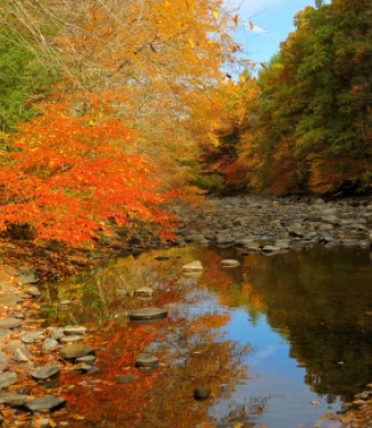
Nature
Picnicking
Swimming
Know Before You Go
- Current Water Quality Report (updated weekly, Memorial Day – Labor Day)
- Beach Regulations and Swimming Safety Information
Additional Park Info
FREE – In-State Registered Vehicles
$15 – Out-of-State Vehicles (Weekends/Holidays)
$10 – Out-of-State Vehicles (Weekdays)
$112 – Out-of-State Vehicles (Season Pass)
Picnicking
Restrooms
Picnic Areas & Hiking Trails
Yes, on leash
Beach
Not permitted