Housatonic State Forest
Sharon, CT




Main (860) 927-3238
Overview
ACCESS POINTS
The forest includes five distinct sections or “blocks”, each with different access points:
- Mine Mountain Block: Access via the Appalachian Trail.
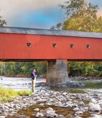
- Sharon Mountain Block: From the junction of Route 7 and Route 128 in West Cornwall (opposite the Cornwall covered bridge), turn north on Route 7 and take an immediate left on West Cornwall Road. Follow 3.6 miles to the forest entrance on the right.
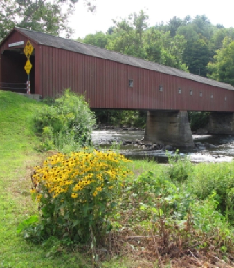
- Cream Hill Block: From the junction of Route 7 and Route 128 in West Cornwall, proceed east on Route 128 for 0.2 mile (passing through the covered bridge). Turn left on River Road and follow for 3.9 miles. Turn right on Music Mountain Road and follow 0.9 miles to the parking area on the left.
- Canaan Mountain Block: Access via Beckley Furnace State Park.
- Gold's Pines Block: From the junction of Route 128 and Route 125 in Cornwall, proceed west on Route 128 for 1.1 miles to the forest entrance on the left.
Maps
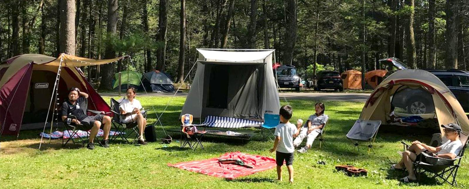
Camping
BACKPACK CAMPSITE AND SHELTERS
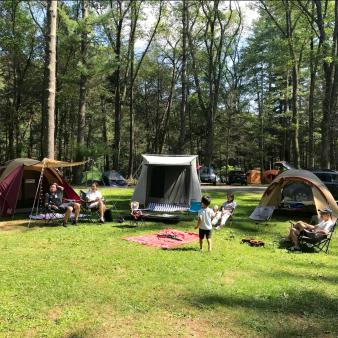
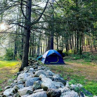
Head into the backcountry and stay in one of the park’s two backpacking campsites along the Mohawk Trail — once part of the Appalachian Trail, before it was rerouted to the west side of the Housatonic. Sites available by reservation only. To reserve a permit, submit your application at least two weeks before your intended stay.
Hiking
Find letterboxing clues to enjoy during your hike.
Hunting
Picnicking
Winter
SNOWMOBILING
Pass through some of the more rugged Connecticut hills along this 10.6-mile trail with opportunities to challenge the beginner as well as the expert. Offering several excellent vistas, Clay Beds Road is the site of a historic mining operation. Please use caution in the Mount Easter section. Many wildlife food plots are located here and easily damaged by snowmobile compaction.
Find the snowmobile trailhead on Mount Easter Road, the gravel road off West Cornwall Road (Caulkintown Road), just beyond Miles Pond.
Additional Park Info
Free
N/A
Yes, on leash
