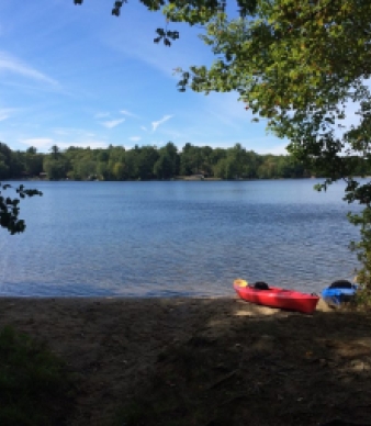

Day Pond State Park
Colchester, CT


Open April – Columbus Day
(8:00 am – sunset)
Off season parking
Along Day Pond Road
Main (860) 295-9523

Overview
KNOW BEFORE YOU GO
- Busses seating 30 or more passengers are not allowed at this park
- Trail Map
- Trail Map - Mobile
Fishing
KNOW BEFORE YOU GO
Before heading out, be sure to check the latest water conditions and fishing regulations.
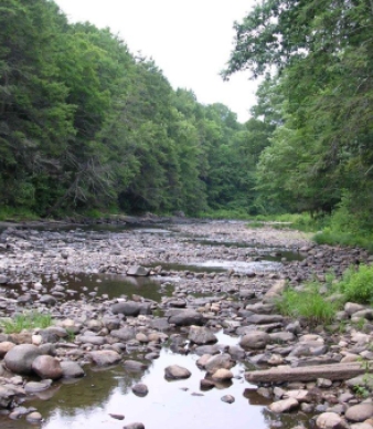
Geology
To begin the geologic exploration of the Day Pond, cross the dam, and then follow the blue trail to the left. The abundance of boulders in the woods indicates that this area is covered with till, the unsorted material left behind by glaciers. Till contains grain sizes from microscopic clay grains to boulders as large as houses. Till is generally found on the hilltops, while stratified drift, natural sand, and gravel deposits are found in the valleys. Heavy meltwater from the glaciers sorted the materials into deposits of similar-sized grains.
After crossing a small stream, about 500 yards down the trail, look for a large, rounded outcrop to the left. This is Brimfield Schist, a rusty weathering, dark gray schist commonly composed of biotite (the black mica), quartz, and feldspar. Here, the stream also contains a few small garnets. The glaciers rounded the outcrop, so it is steeper on the southern end. This is commonly seen in both outcrops and hills in Connecticut, caused by the motion of the ice from north to south. Glaciers covered all of Connecticut from about 26,000 years ago to 12,000 years ago.
Some light-colored boulders are found along the trail near here. They are very coarse-grained and generally light in color. The major minerals are quartz, feldspar, and mica. The coarse boulders are called pegmatite. There was once molten rock deep within the earth, which cooled very slowly, thus allowing time for large grains to grow.
When you reach the buried cable signs, walk uphill to your right about 50 feet. The freshly broken pieces of black and white banded rock are Hebron Gneiss (pronounced "nice"). Gneiss had its mineral grains sorted into dark and light bands by increased heat and pressure during metamorphism.
Rock Types Found on Main Trail:
Igneous (Pegmatite), Metamorphic (Schist, Gneiss)
Rock Units:
Brimfield Schist, Hebron Gneiss
Minerals of Interest:
Quartz, Feldspar, Garnet, Biotite
Interesting Geologic Features:
Glacial Sediments, Waterfall
Hiking
Day Pond has a nice swimming beach and picnic area. In addition, there are several short trails within the park and two long trails that go into the adjacent Salmon River State Forest. During hunting season, be careful when walking the trails in the state forest, as hunting is allowed there, but not in the state park.
Historic
Nature
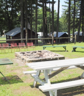
Picnicking
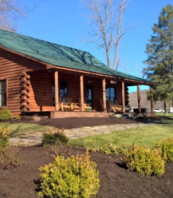
OPEN AIR PICNIC SHELTER RENTAL
- 40 x 90' open air shelter
- Space for 75 people, 18 tables, 2 grills, and access to nearby restrooms
- No electricity or running water
- Reservations are available on weekdays only from Memorial Day weekend through Labor Day. Available at other times on a first come, first served basis. Shelter closes for the season after Veterans Day and reopens April 1st.
- Rental Fee: $220 (plus $9 processing fee)
- Parking fee for out-of-state registered vehicles: No fee.
- Learn more about our picnic shelter rental polices and reservation details
RESERVE PICNIC SHELTER
- Online: Visit Reserve America
- By phone: 1-877-668-CAMP (2267)
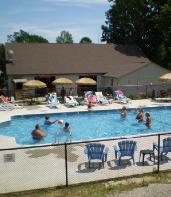
Swimming
Know Before You Go
- Current Water Quality Report (updated weekly, Memorial Day – Labor Day)
- Beach Regulations and Swimming Safety Information
Winter
Additional Park Info
Free
Parking
Fishing
Picnic Shelter
Restrooms
Picnic Areas & Hiking Trails
Yes, on leash